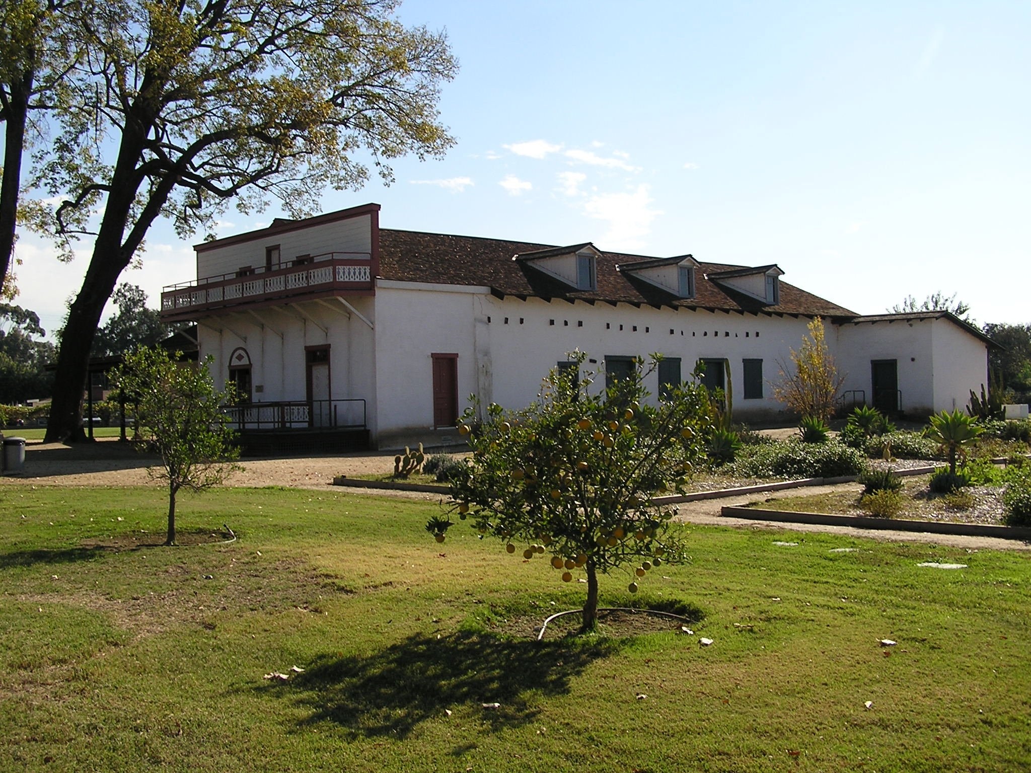
Whittier Narrows Dam
4 mi northeast · US Army Corps of Engineers
This project is managed by Los Angeles County Parks and the City of Pico Rivera. Whittier Narrows has no permanent pool.
Outdoors
Trails and recreation areas near Pico Rivera open to biking and mountain biking.
Good to know: Wilderness areas are closed to bikes; check each area’s trail rules and yield to hikers and horses.
4 mi northeast · US Army Corps of Engineers
This project is managed by Los Angeles County Parks and the City of Pico Rivera. Whittier Narrows has no permanent pool.
12 mi southeast · US Army Corps of Engineers
The recreation facilities at this project are managed by the City of Fullerton (CA) Community Services. Golf and tennis are main attractions at this project, located among the picturesque rolling hills in the City of Fullerton.
Map of 20 places loads as you scroll.
This project is managed by Los Angeles County Parks and the City of Pico Rivera. Whittier Narrows has no permanent pool.
The recreation facilities at this project are managed by the City of Fullerton (CA) Community Services. Golf and tennis are main attractions at this project, located among the picturesque rolling hills in the City of Fullerton.
Nestled within the San Gabriel Mountains National Monument, Coulter Group Campground offers a secluded forest setting ideal for family reunions, youth groups, scout troops, and other organized gatherings.
Meadow Group Campground is located off State Highway 2 between the Manzanita Loop of the Chilao Campground and the Chilao Ranger Station, 26 miles north of the 210 Freeway in La Canada, California.
The Sepulveda Dam's recreation facilities are managed by the City of Los Angeles Parks.
Located along Santa Clara Divide Road in the Angeles National Forest, Bandido Group Campground sits among fragrant Jeffrey pines in the upper montane zone of the San Gabriel Mountains National Monument.
Lightning Point Campground sits at an elevation of 6,100 feet, about 25 miles southeast of Palmdale and roughly 35 miles north of the San Fernando Valley.
Deer Group Campground is a great place to bring an extended family or large group.
Nestled in a scenic canyon just off the Big Pines Highway, Apple Tree provides a scenic and relaxing destination for camping, hiking, picnicking and wildlife viewing.
Lake Campground offers an excellent escape from the city, just a short drive northeast of the Los Angeles metro area.
Escape to Mountain Oak Campground in the Angeles National Forest for a restful, refreshing getaway from city life.
Just northwest of the Los Angeles metro area, Peavine provides a scenic and relaxing destination for camping, hiking, picnicking and wildlife viewing.
Table Mountain, just a short journey northwest of the Los Angeles metro area, provides a beautiful escape from urban life. Campers will find hiking, mountain biking, birding and countless other recreation opportunities.
The Santa Monica Mountains offer easy access to surprisingly wild places. Experience the famous beaches of Malibu or explore more than 500 miles of trails.
Remember your OUTDOOR ETHICS when enjoying your public lands. Please RECREATE RESPONSIBLY.
Juniper Flats covers 101,272 acres of mixed public and private lands. Located between the Mojave Desert and the forests of the San Bernardino Mountains, Juniper Flats hosts a unique mixture of plants from both environments.
Lake Casitas is formed by Casitas Dam , which is a feature of the Ventura Project . Lake Casitas Recreation Area offers one of the nations best bass fishing areas.
Click here for the latest information concerning upcoming military training and closures of the Shared Use Area. Overview Johnson Valley is a varied landscape for the off-highway vehicle driver.
Distances are straight-line miles from downtown Pico Rivera. Listings come from Recreation.gov’s federal recreation database; check each official page for hours, fees, fire restrictions and closures before you go.

THINGS TO DO · YOUTUBE SHORT
An activity Short shared by obieats.
Watch on YouTube ↗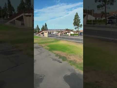
THINGS TO DO · YOUTUBE SHORT
An activity Short shared by Jose Figueroa.
Watch on YouTube ↗


Whittier Narrows Dam (US Army Corps of Engineers), about 4 miles northeast of Pico Rivera as the crow flies. Next are Angeles National Forest (12 mi) and Brea Dam (12 mi).
Based on Pico Rivera’s average highs, all year. Conditions at higher elevations can be much cooler.
Federal agencies including USDA Forest Service, US Army Corps of Engineers, Bureau of Land Management. Each listing links to its official page for hours, fees, closures and current conditions.